GPS2 SURVEY ENGINEERING

An ISO 9001:2015 and MSME Certified Company

We Always Strive to serve you better

About Us

Several Years Of Survey-Engineering Excellence With Quality At It's Best!

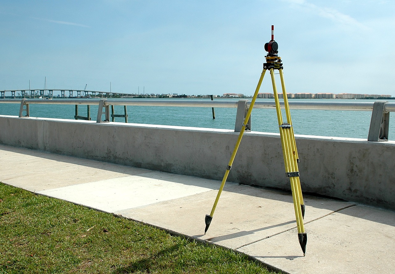
We provide.. Engineering design solutions, Topographical Survey and Land Survey solutions using Total Station, DGPS & GPS, Mapping solutions using GIS & Drone, Geotechnical Investigation & Training.

The Company specializes in Executing the various types of Soil investigation and survey using all modern instruments like Total station, DGPS, GPS etc in the Power Sectors, Irrigations, Roads, Rail, Mines, services for Municipality, Health, and Urban planning sectors.

Our Services
We serve the most reliable and trendy solution you are looking for.

Total Station Survey :

  • Topographical Survey
  • Contour Survey
  • Road Network Survey
  • Cadastral Survey
  • Transmission Line Survey
  • L-section & Cross Section Drawing
  • Engineering Survey
  • Land Demarcation
  • Drainage network Survey
  • River and Canal Embankment Survey
  • Proposed Pipeline Survey
  • Stake Out Survey

DGPS & GPS Survey :

  • GPS Mapping
  • Establishment of Control Points
  • Contour Through GPS
  • RTK Survey
  • Baseline Survey
  • Triangulation Survey

GIS & Remote Sensing :

  • Urban GIS
  • Base Map Preparation for Town Planning and Urban Development
  • Digitization
  • GIS Analysis
  • Image Processing
  • Surface Modeling

Drone Survey :

  • Land Management and Development
  • Stockpile Volumetric Measurements
  • Forest Area Measurements
  • Slope Monitoring
  • Urban Planning

Mapping Solution :

  • Utility Mapping
  • Digitization of maps / GIS and related Project.
  • Cad Drawing.

Geotechnical Investigation :

  • Soil Boring
  • Earth Resistivity Test
  • California Bearing Ratio
  • Trial Pit

The place where you’ll get the perfect solution for all your industry needs.

Our Contributions

We have done..

Public Works Department

Topographical Survey at Bolpur sub-divisional Hospital

South Eastern Railway

Detailded  Topographical Survey at Bondamunda Railway Colony.

Irrigation and Waterways Department

Detailed Survey of Canals in Khardaha, Madhyamgram, Ichapore, Nopara, WestBengal.

PHIDCL

Detailed Topographical Survey for Construction of Buildings in Howrah, Kolkata, North & South 24 PGS Districts.

WEST BENGAL TOURISM DEVELOPMENT

Detailed Topographical Survey at Motijheel Park, Murshidabad.

VIKRAM SOLAR

Detailed Topographical Survey at Santaldih, Purulia for STPS.

REDGRIT

Establishment of DGPS Control Points at Various Locations in West Bengal.

AUS

Establishment of DGPS Control Points at Coal Mines in Hazaribagh.

PIXROOT

Establishment of DGPS Control Points at Various Locations in West Bengal and Assam.

EMC

Establishment of DGPS Control Points at Various Locations in Odisha.

K2J

Floor Level Survey at Bengal Rowling Club.

ALTBIRD

Establishment of DGPS Control Points at Various Locations in West Bengal.

PETAGMA

Detailed Topographical Survey at Army Base in Guwahati, Assam.

OM LOGISTICS

Detailed Topographical Survey for Proposed Warehouse at CGTA Nagar.

Techno India Group

Topographical Survey & Layout Survey for Proposed School Building at Mankundu, Hooghly.

Saffron Grid

Topographical Survey & Contour Survey for 12MWp MMEPL Solar PV Project at Naogaon, Assam.

Bio Earth Energie Pvt. Ltd.

Topographical Survey for Solar Plant at Khuntuni.

Shubh Consultants & Technocrats LLP

Jal Jeevan Mission Project at Uttar Pradesh (Bareilly), Assam (Silchar , Tinsukia & Gogamukh) & Chattisgarh (Mungeli) for more than 3000KMS.

Cars24

Topographical Survey for Proposed Car Parking.

Nomadic Engineering Pvt. Ltd.

Jal Jeevan Mission Project at Jharkhand (Medininagar) for more than 300KMS

Regent Group

Detailed Survey for Underground Power Cables at Mogra and Durgapur Steel Plant.

Odra Associates Pvt. Ltd.

Establishment of Control Point at Asansol.

Skylark Drones Pvt. Ltd.

Establishment of DGPS Control Points at Various Locations in West Bengal, Odisha and Madhya Pradesh.

Mabco Consultant

Embankment Survey work of various location under East Midnapore Division,
I&W. Dte..  Jalpaiguri  for more than 300KMS.

Need Help with Easier Industrial Solutions? We Are Experts!

Scroll to Top
surveying, equipment, measurement-3035404.jpg

Stay In Touch

We are alwayes here to help out
phone, communication, contact-2319.jpg