Our Services
Experience the best Service
Services We Offer
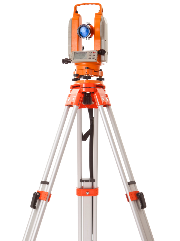
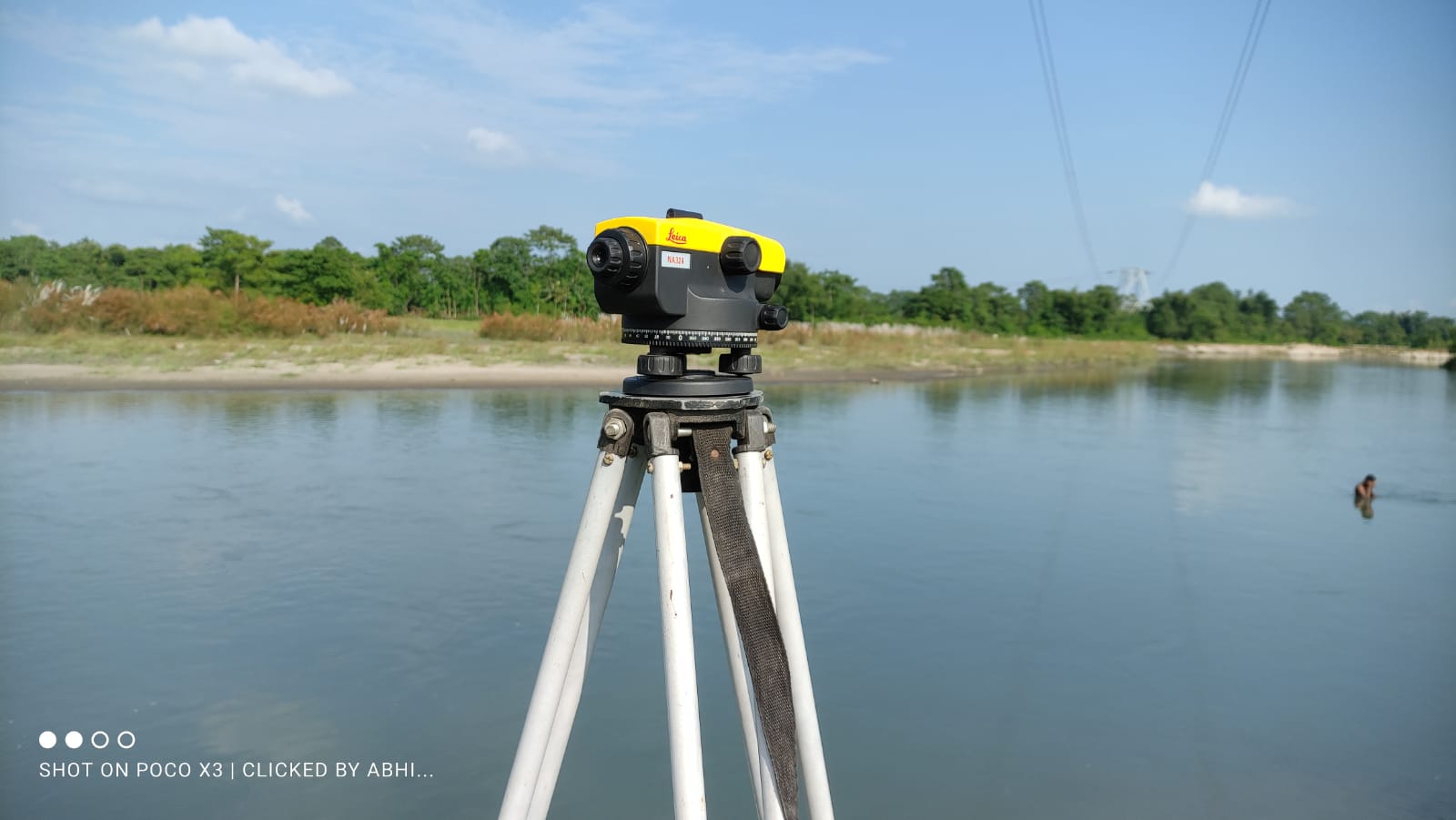
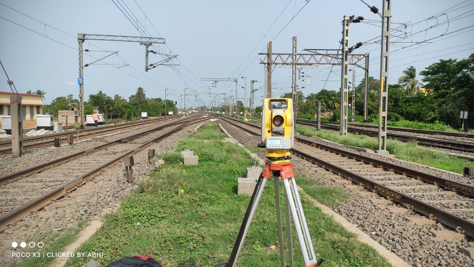
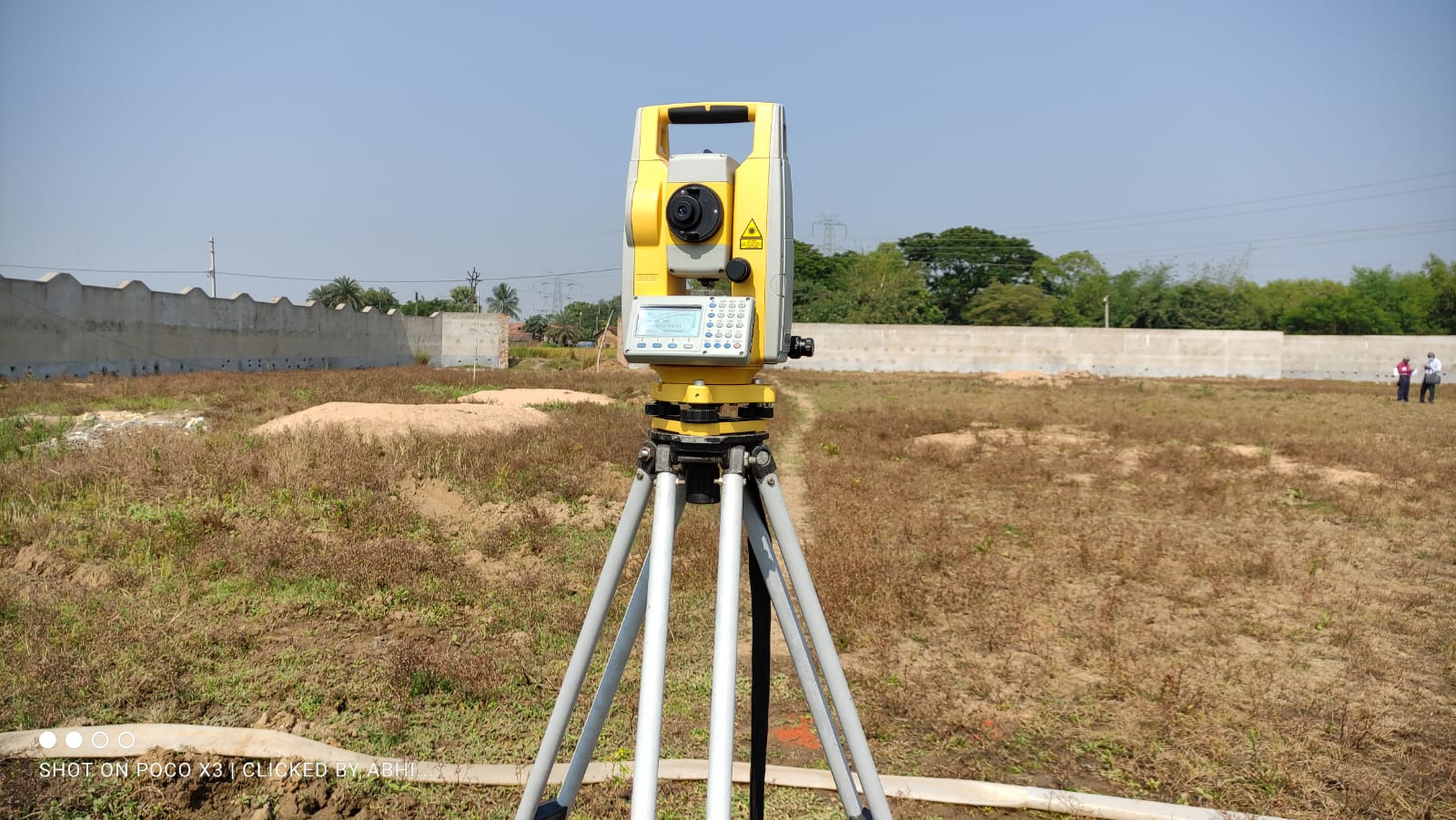
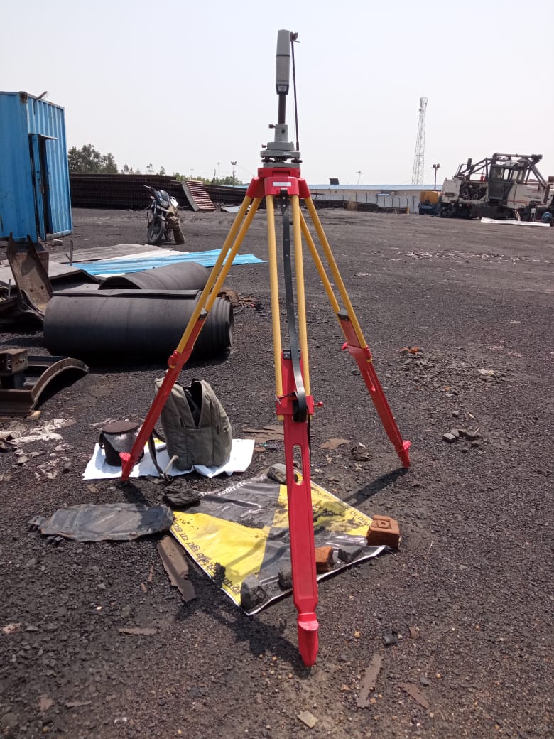
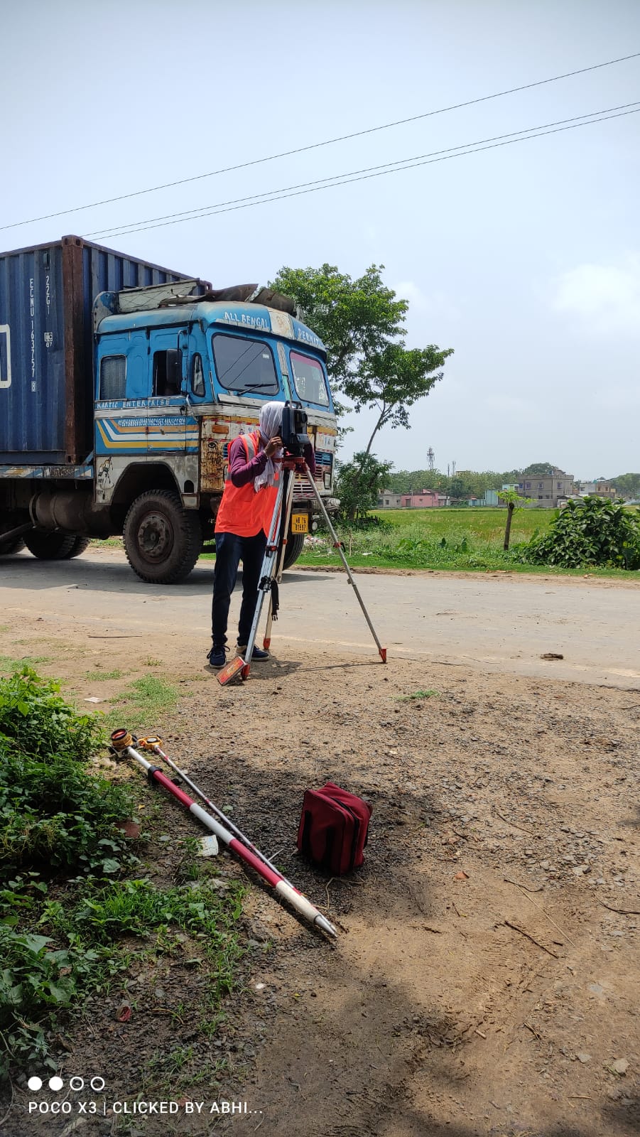
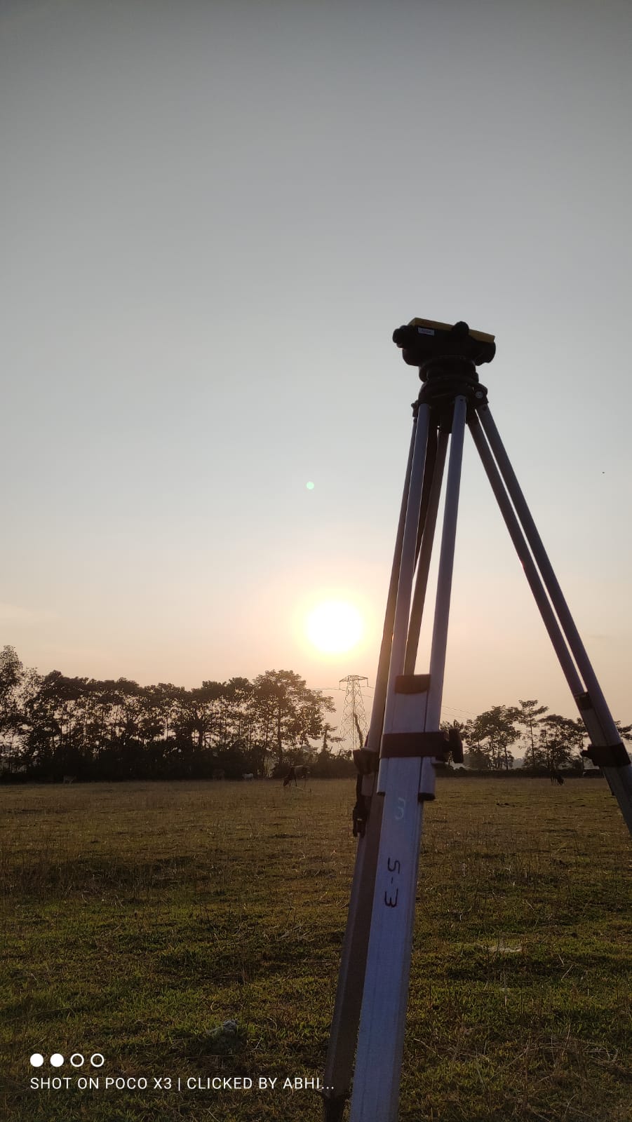
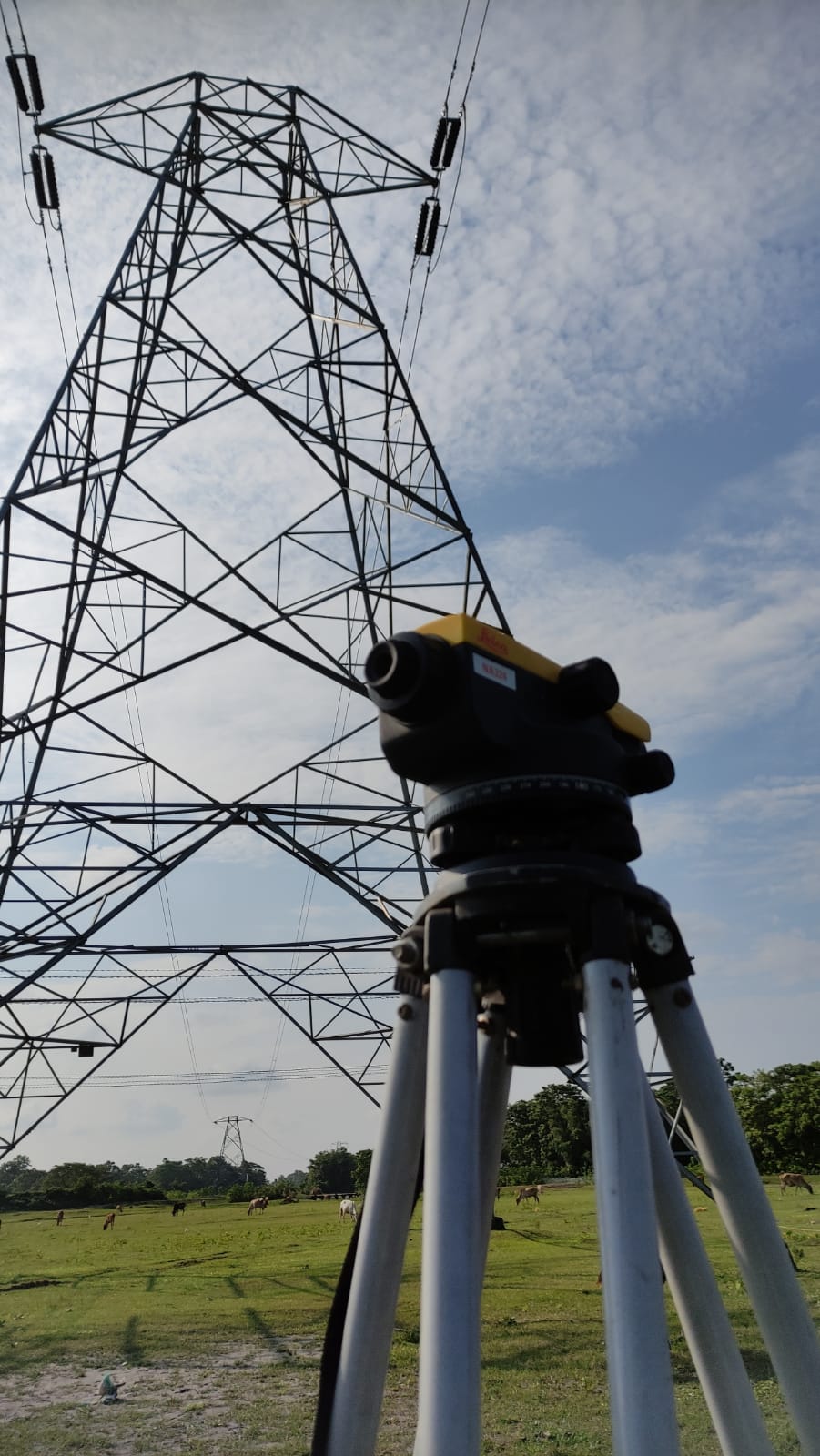
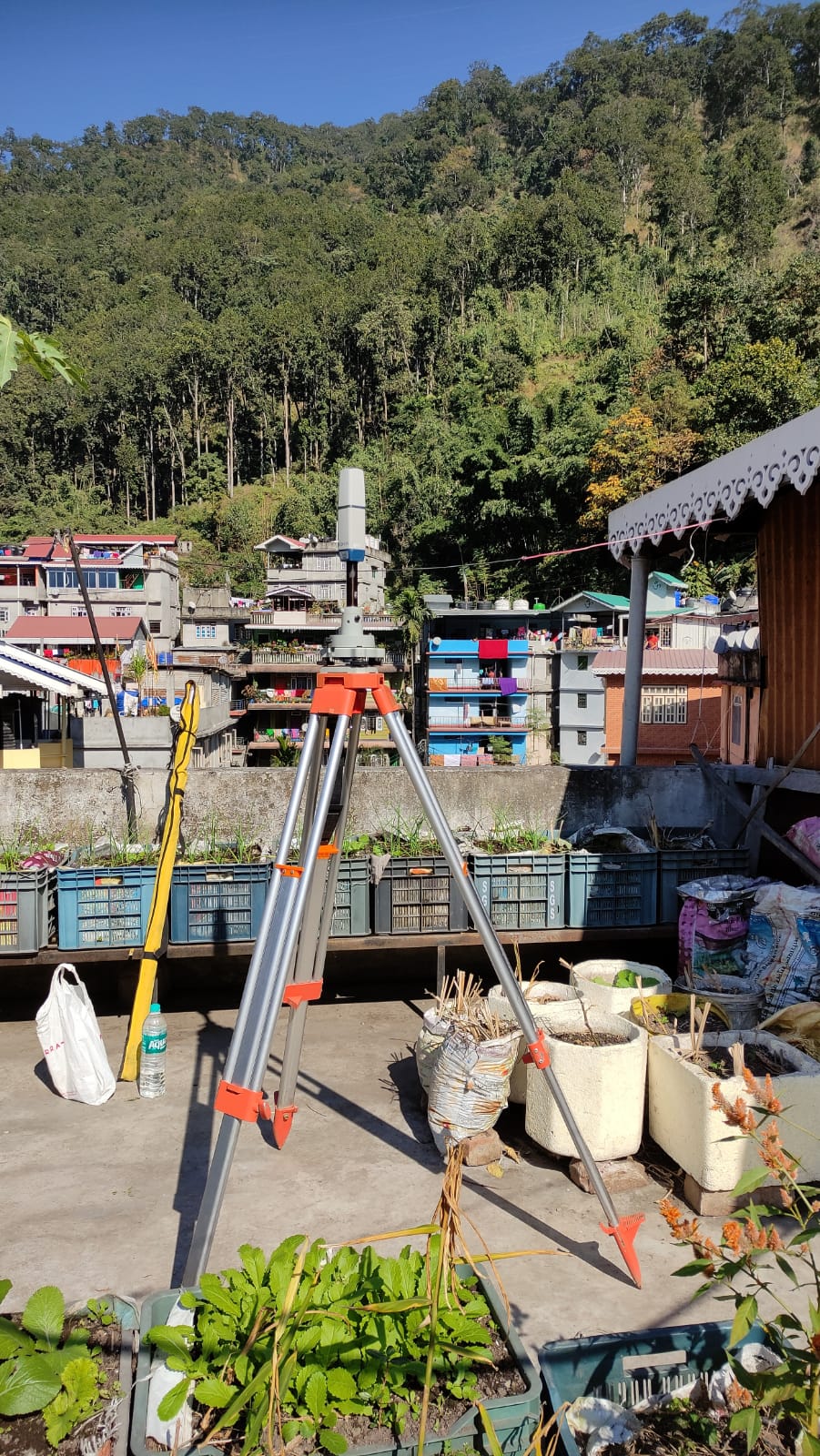
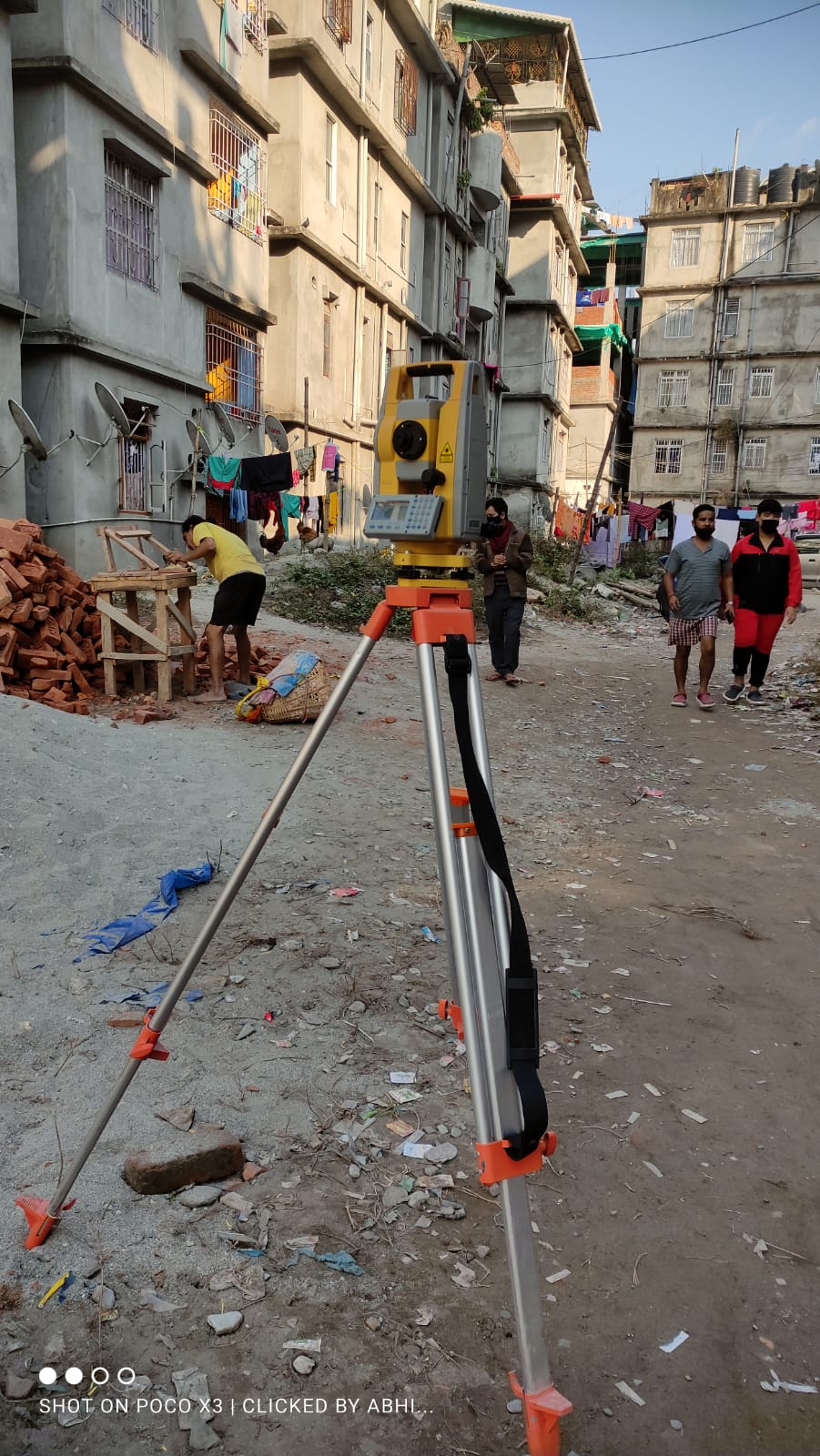
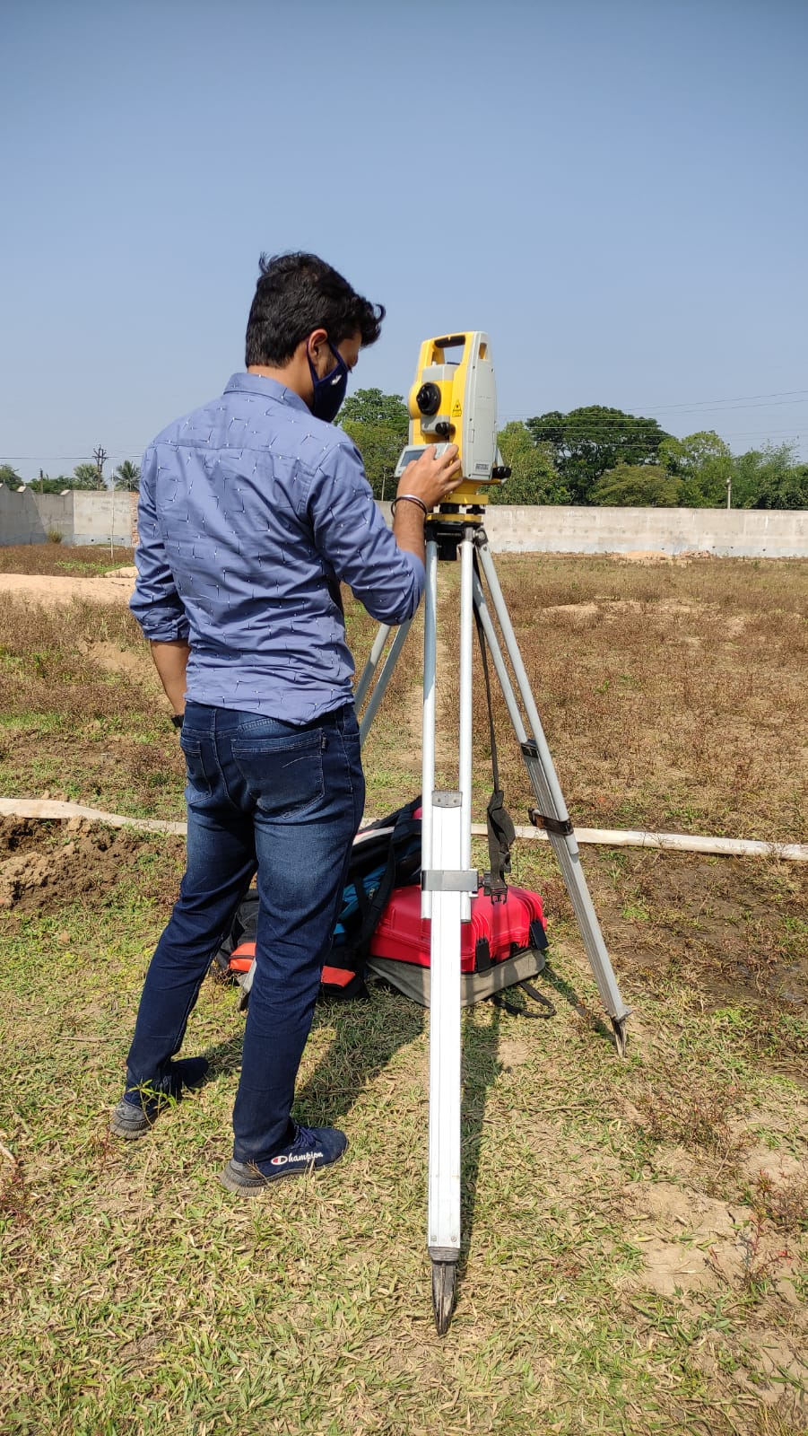
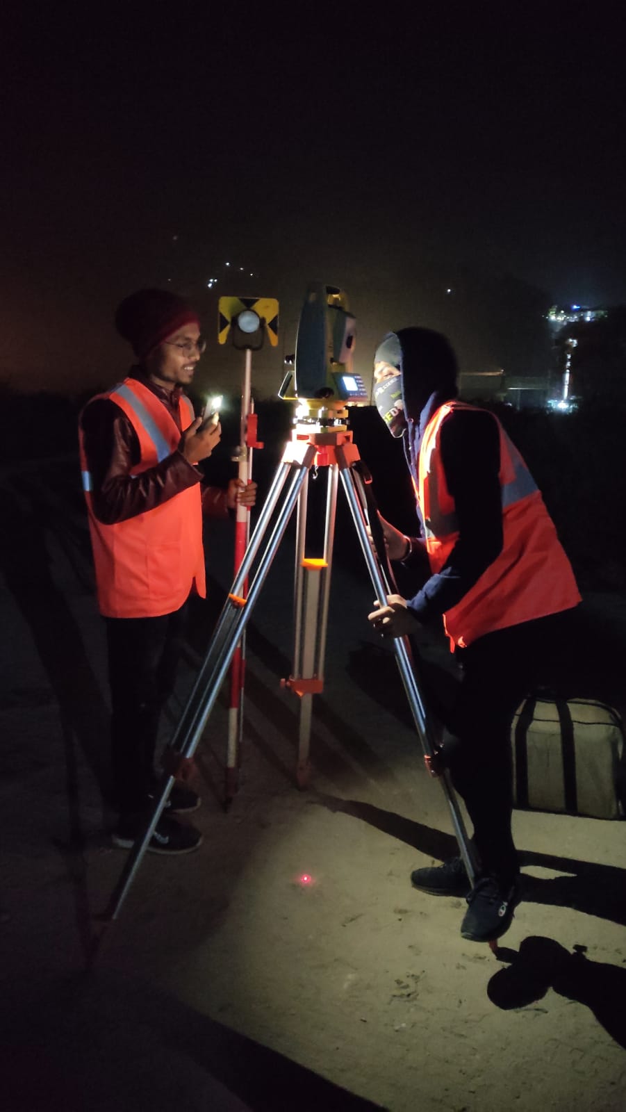
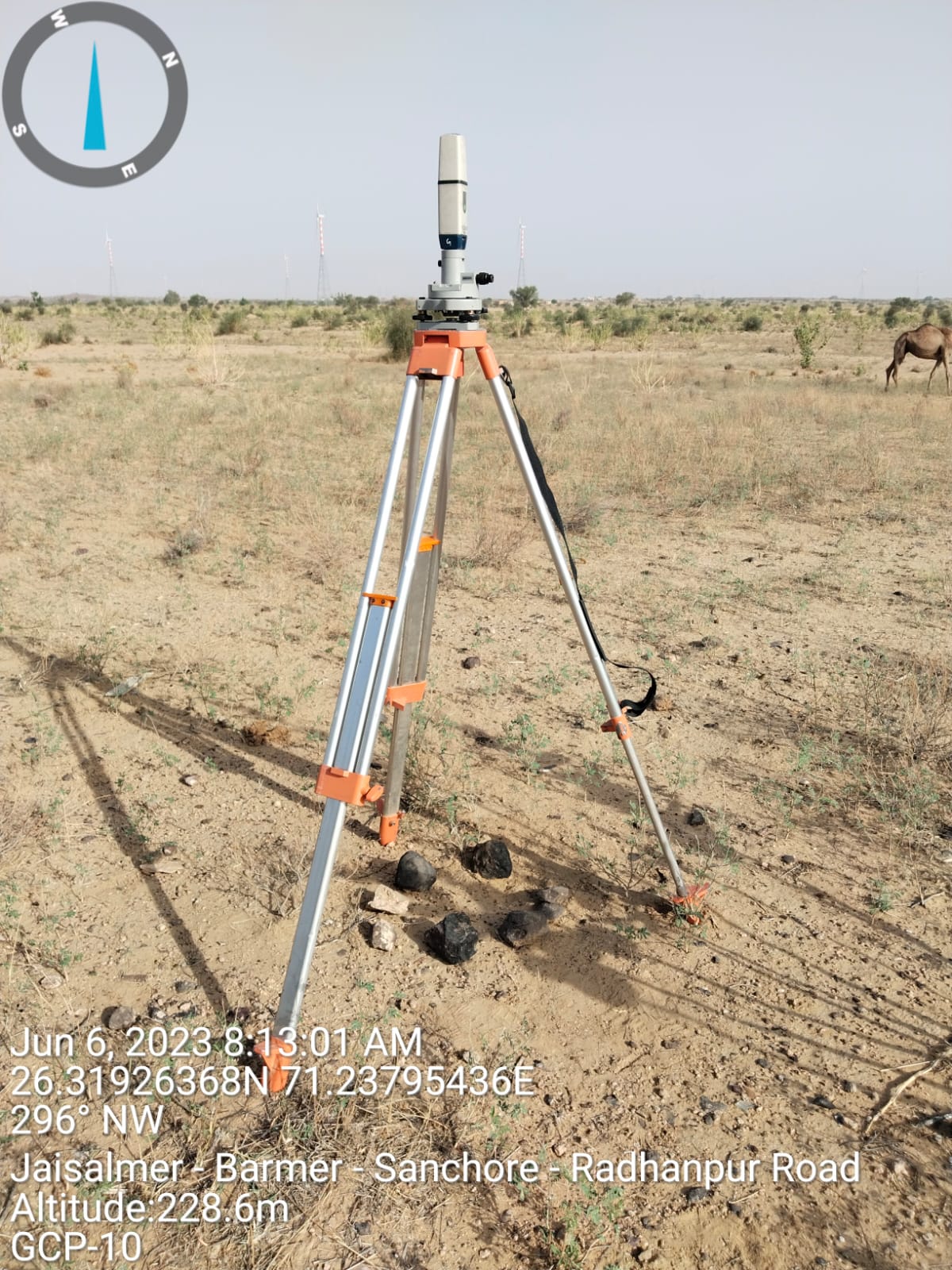
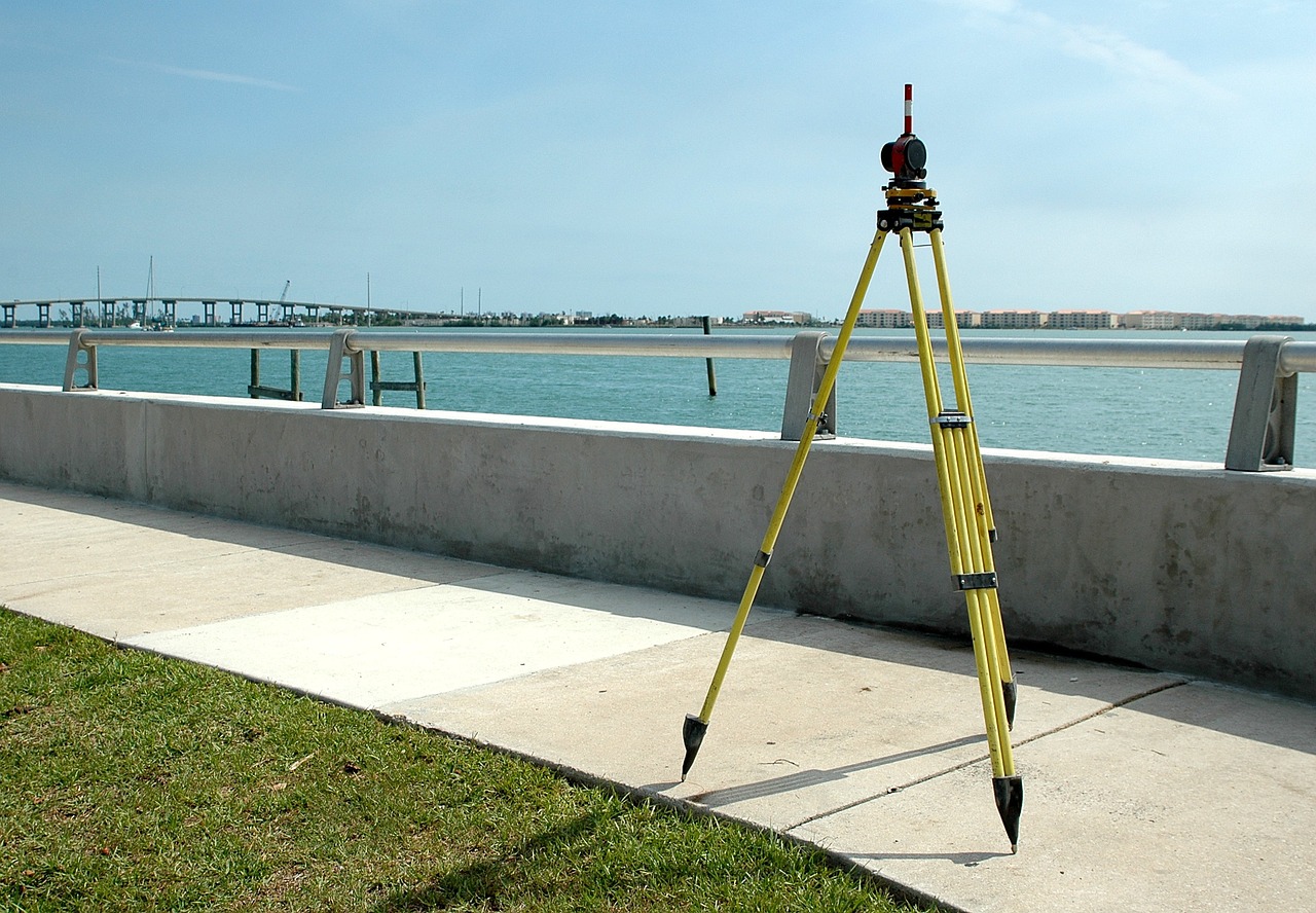
Total Station Survey
We provide every kind of solutions you may need like..
Topographical Survey, Contour Survey, Road Network Survey, Cadastral Survey, Transmission Line Survey, L-section & Cross Section Drawing, Engineering Survey, Land Demarcation, Auto Level, Total Station, Soil Boring, ERT, CBR and Trial Pit
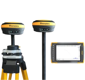
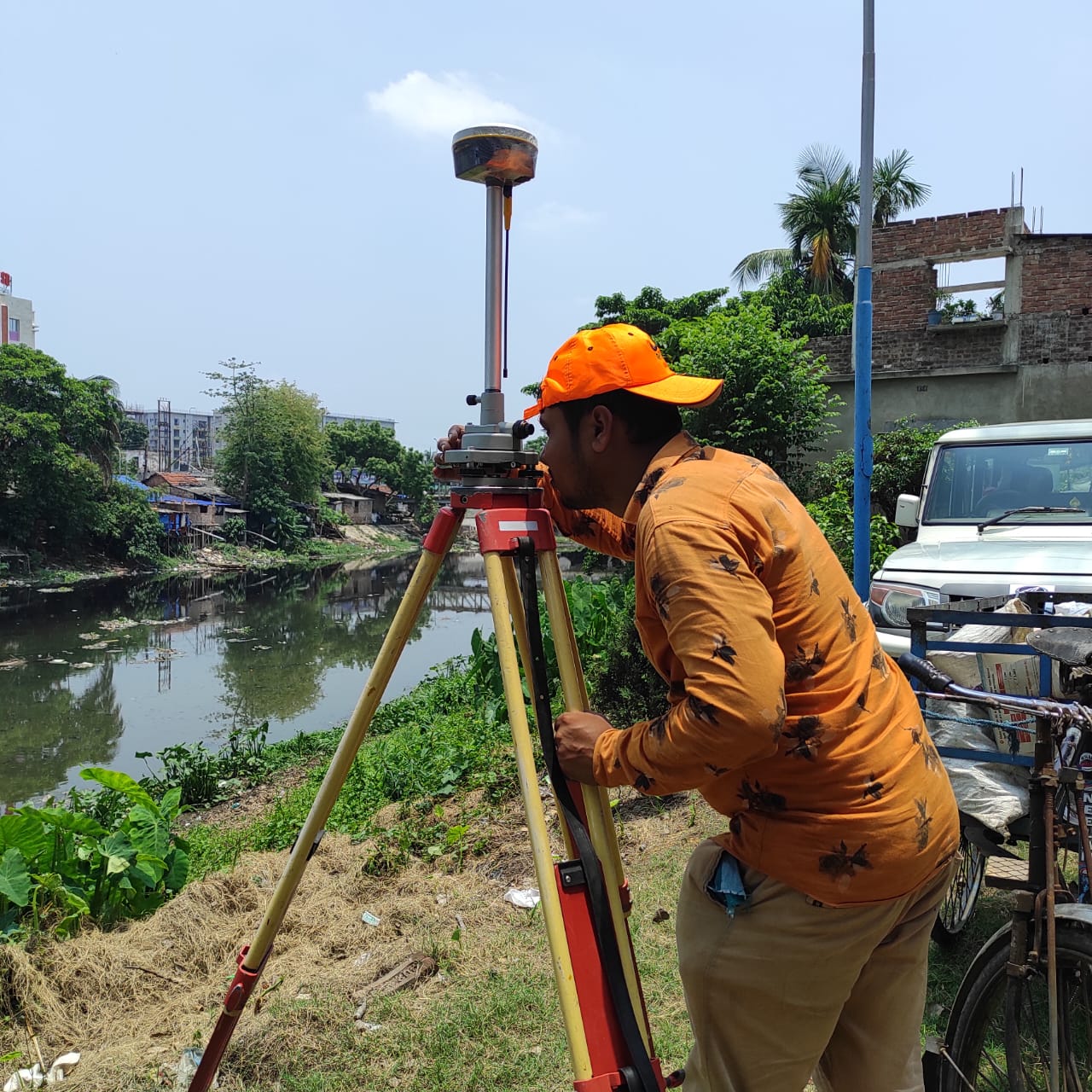
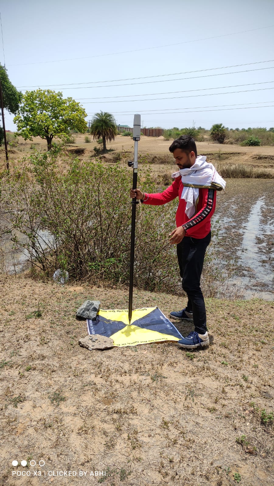
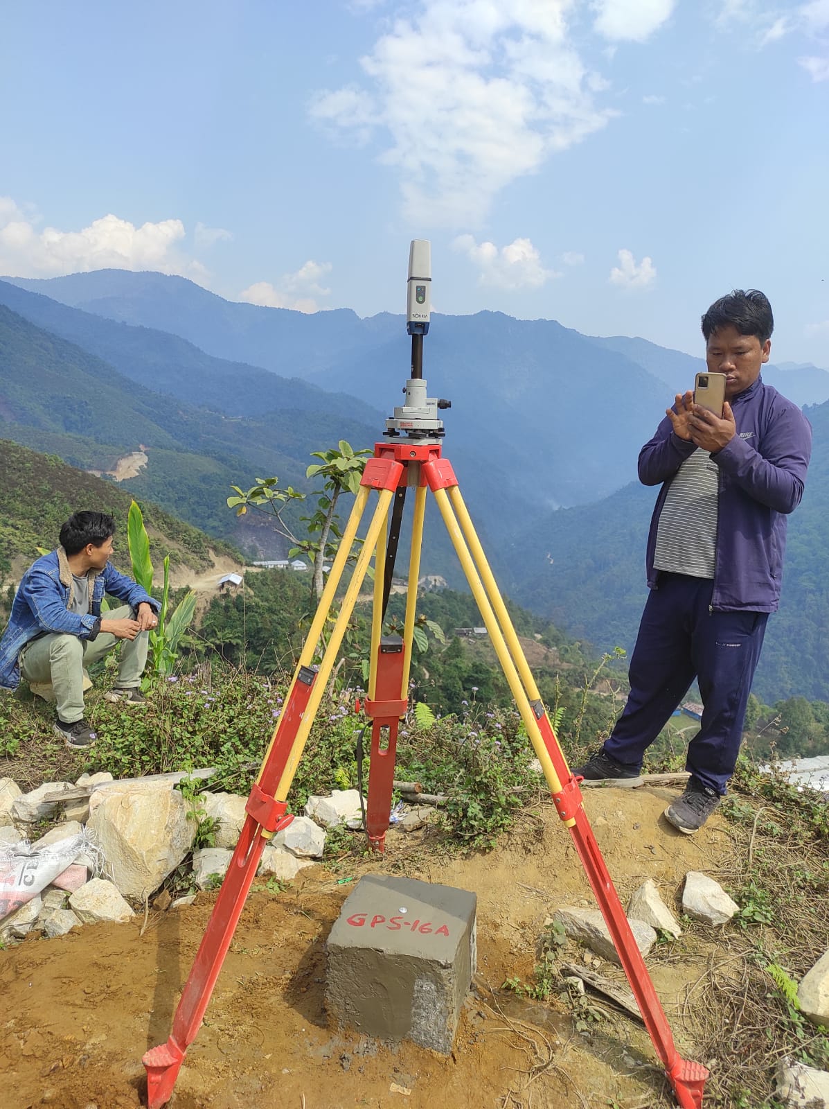
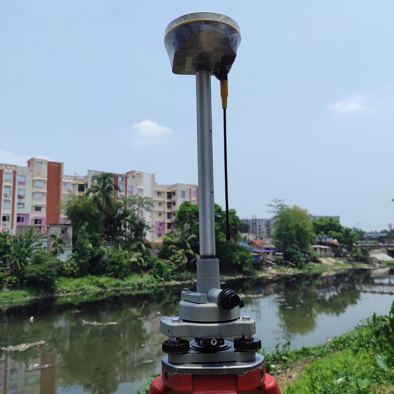
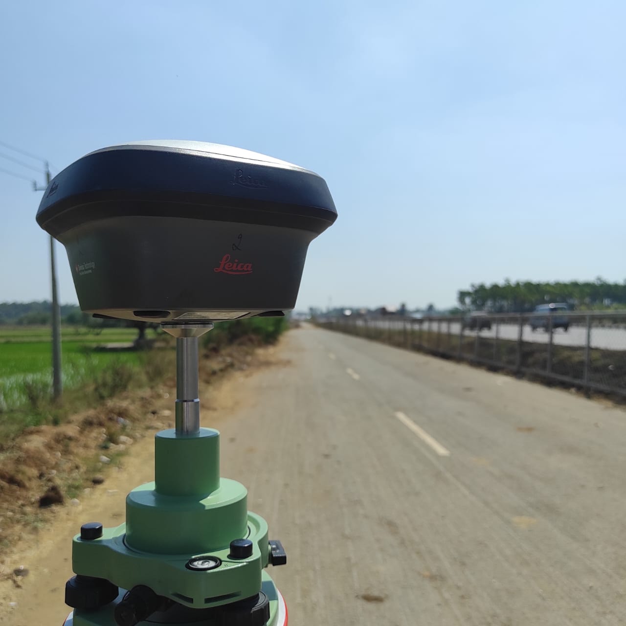
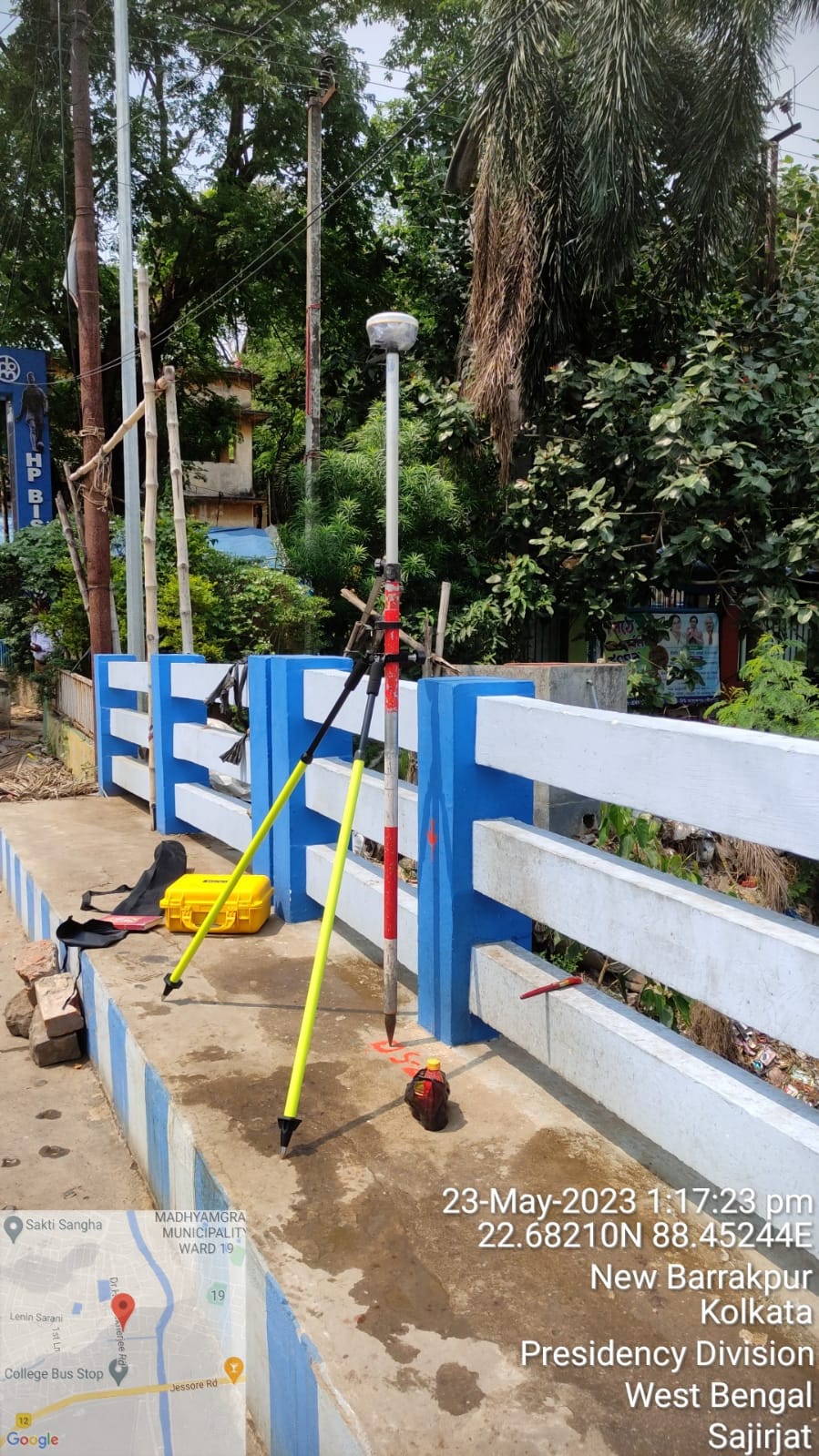
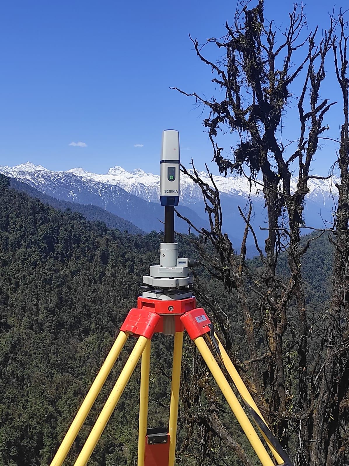
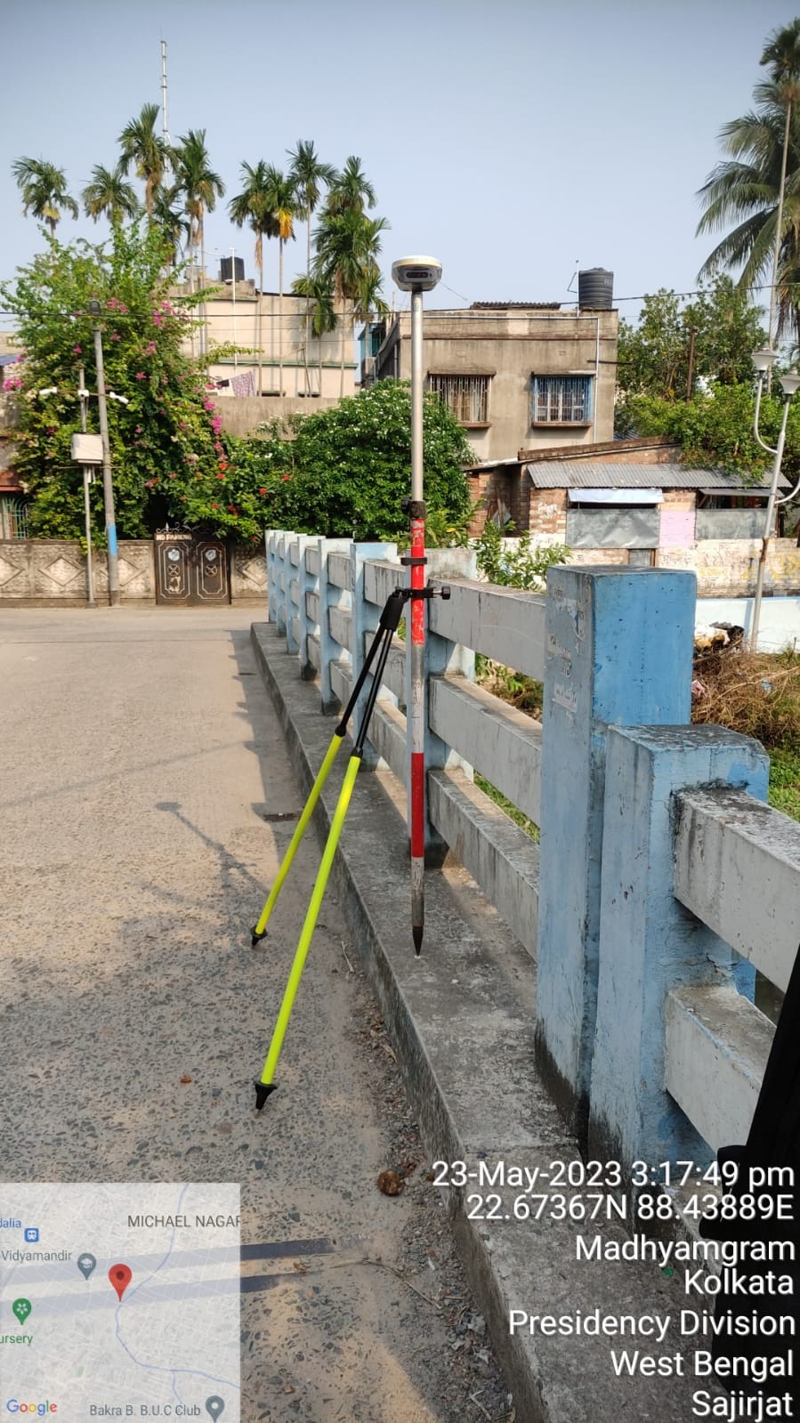
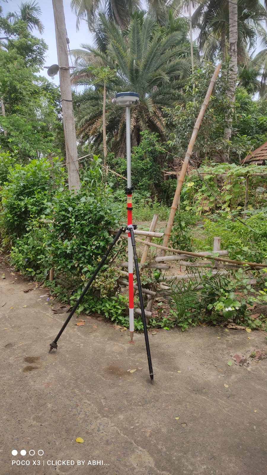
DGPS & GPS Surveying
A Differential Global Positioning System (DGPS) is an enhancement to the Global Positioning System (GPS) which provides improved location accuracy, in the range of operations of each system.
We provide GPS Mapping, Establishment of Control Points,
Contour Through GPS, RTK Survey, Baseline Survey and Triangulation Survey
GIS & Remote Sensing
A geographic information system (GIS) is a computer system for capturing, storing, checking, and displaying data related to positions on Earth’s surface.
We provide Urban GIS, Base Map Preparation for Town Planning and Urban Development, Digitization, GIS Analysis, Image Processing and Surface Modeling
Drone Survey
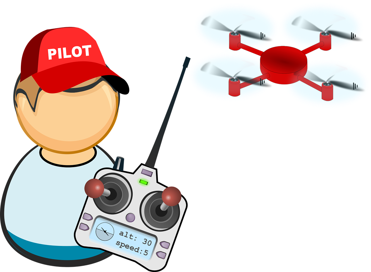
Surveying with a drone offers enormous potential to GIS professionals. With a drone, it is possible to carry out topographic surveys of the same quality as the highly accurate measurements collected by traditional methods, but in a fraction of the time. This substantially reduces the cost of a site survey. We provide Land Management and Development, Stockpile Volumetric Measurements, Forest Area Measurements, Slope Monitoring and Urban Planning
Mapping Solution
Surveying and Mapping are critical for a wide range of applications, from property ownership and development to infrastructure planning and disaster preparedness, We provide Utility Mapping, Digitization of maps / GIS and related projects and Cad Drawings
Geotechnical Investigation
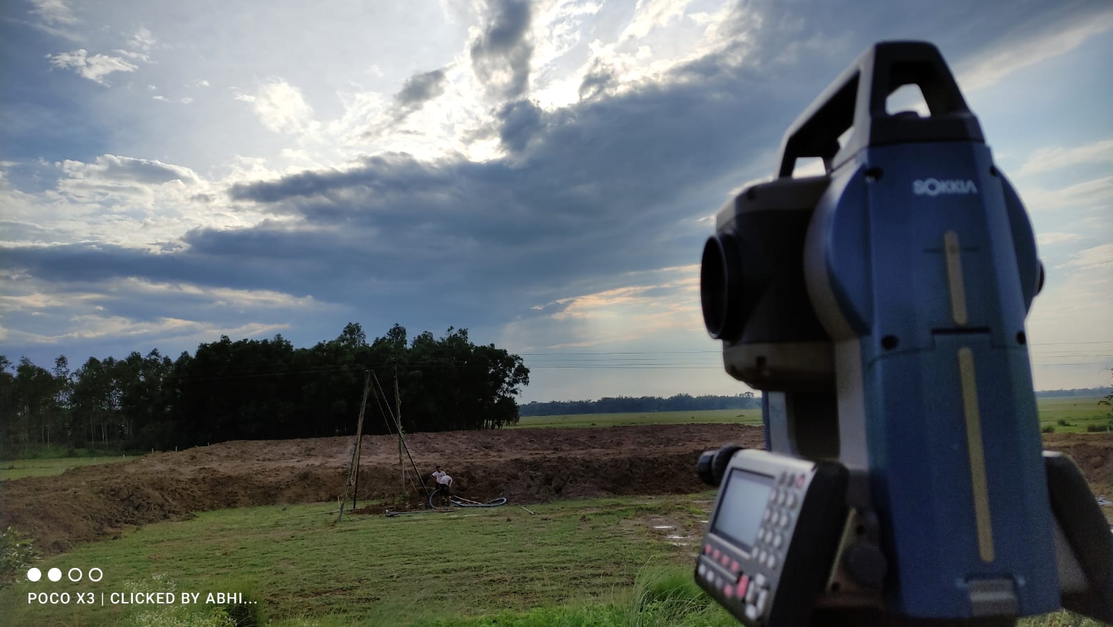
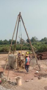
Geotechnical investigations are performed by geotechnical engineers to obtain information on the physical properties of soil earthworks and foundations.
We provide Soil Boring, Earth Resistivity Test, California Bearing Ratio and Trial Pit
