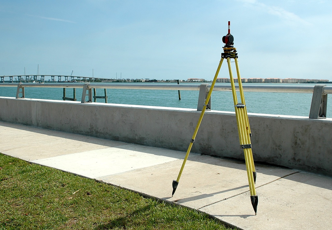
GIS & Remote Sensing
Urban GIS
GIS-Based Survey over the Public Transport Strategy is used for Economic and Sustainable Urban Traffic Planning.
Base Map Preparation for Town Planning and Urban Development
A base map is a map used for showing the existing physical pattern of the land upon which survey info analysis or planning proposal can be superimposed.
Digitization
Digitization is the process of converting geographic data into digital form.
GIS Analysis
It is a process in which we model problems geographically, derive results by computer processing, and then explore and examine those results.
Image Processing
It is the process of digital images using various computer algorithms. This Image processing has been employed in number of areas such as pattern recognition, remote sensing
Surface Modeling
Surface Modeling is the method of showing or presenting solid objects. The process requires you to convert between different 3D modeling types, such as converting the 3D object to show procedural surfaces