Mapping Solutions
Utility Mapping
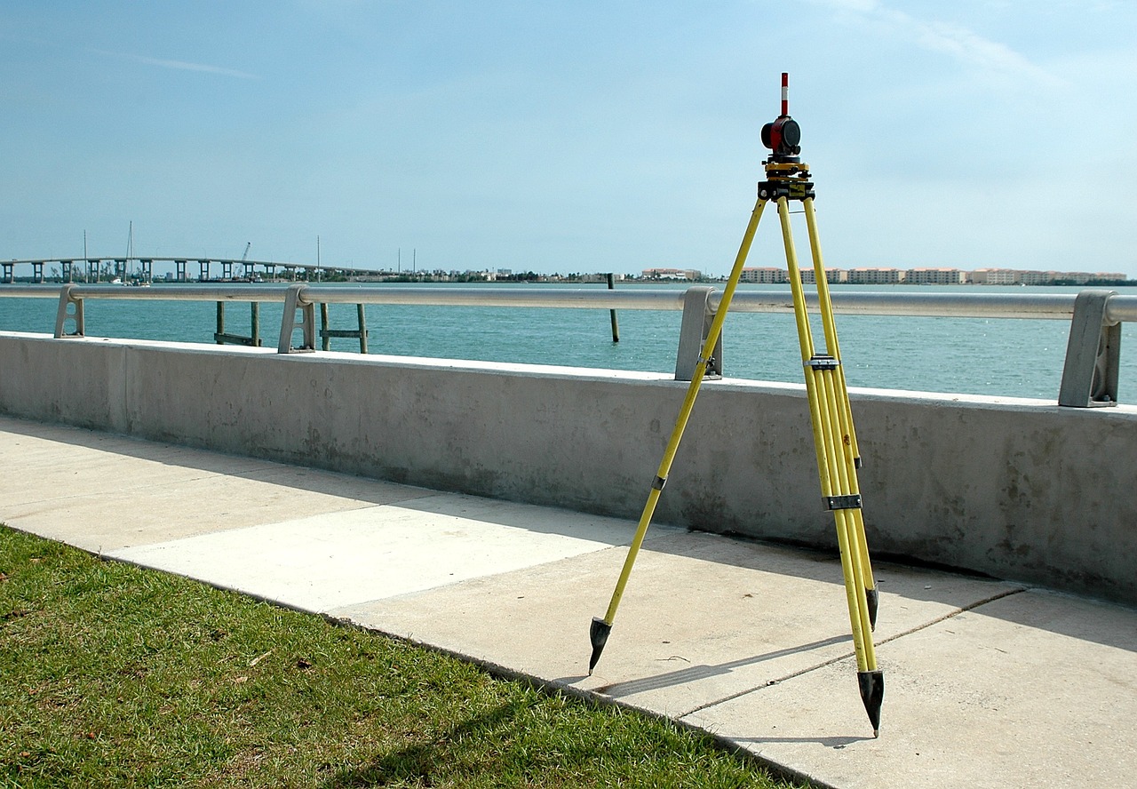
Utility mapping is the process to identify and document where underground cables or pipes are located. These underground utilities often include electric wiring, telecommunications lines, natural gas, water lines and wastewater pipes. In some cases, utility mapping might involve oil, natural gas or other fuel lines.
Digitization of maps / GIS and related Projects.
In Digitization we convert geographic data into digital form. During this process, spatial data on maps or images are traced as points, polylines or polygons. It has many uses in GIS, including recording and displaying geographic information, generating map layers, and storing data.
Digitization in GIS can be integrated with many software applications like CAD (Computer-Aided Design), 3D modelling, etc.
CAD Drawing.
We provide CAD survey, which is produced using CAD (computer-aided design). And we use this software to put together a precise and exact image of all elements of a building, including all structural and architectural elements.