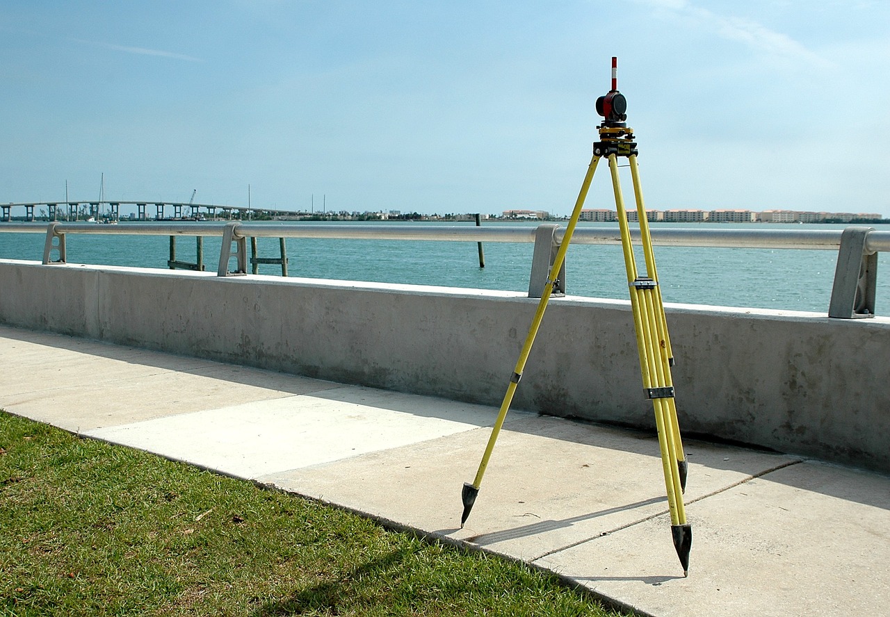
Total Station Survey
Topographical Survey
In our company we did Topographic Survey. Which is basically to determine the relative locations of points (places) on the earth’s surface by measuring horizontal distances, differences in elevation and directions.
Contour Survey
Contour survey illustrates the elevation differences across your land, in regular intervals, from the lowest point to the highest point. We provide that service also.
Road Network Survey
Here we serve primary investigation regarding the justification of constructing a new road, the tentative alignment or alignments are marked on the general map and contour map of the area through which it is expected to pass.
Cadastral Survey
Cadastral surveying is the sub-field of cadastre and surveying that specialises in the establishment and re-establishment of real property boundaries.
Transmission Line Survey
In Transmission Line Surveys we served for various end uses, such as, route alignments, laying of transmission line and pipeline, 2D/3D seismic exploration.
L-section & Cross Section Drawing
The primary objective of this job is to determine the configuration of ground level by surveying and drawing longitudinal and cross-sections of the road.
Engineering Survey
In Engineering survey we determine the exact position of objects on the Earth’s surface (whether natural or artificial) by collecting, evaluating and recording various data on the ground.
Land Demarcation
The demarcation, or the transfer of the delineation document to the terrain, is almost purely a technical operation, carried out jointly by us, acting as boundary engineers, of both parties. The result is a record of great importance in avoiding future disputes.
All types of Surveying, Auto Level, Total Station, DGPS
Auto Level is used in surveying and building with a vertical staff to measure height differences and to transfer, measure and set heights.
In Total station, the land/field is measured by using velocity = time x distance travelled.. A ray passes from total station to the prismic compass, when the ray hits the prism, the ray is travelled back to the total station… That’s how the distace is calculated, thus area is found..
In DGPS, it is directly connected to satellite through internet, the Coordinates is displayed, we can save it and calculate the area..
Geotechnical Investigation (Soil Boring, ERT, CBR, Trial Pit, etc.)
These are performed by us to obtain information on the physical properties of soil earthworks and foundations for proposed structures and for repair of distress to earthworks and structures caused by subsurface conditions