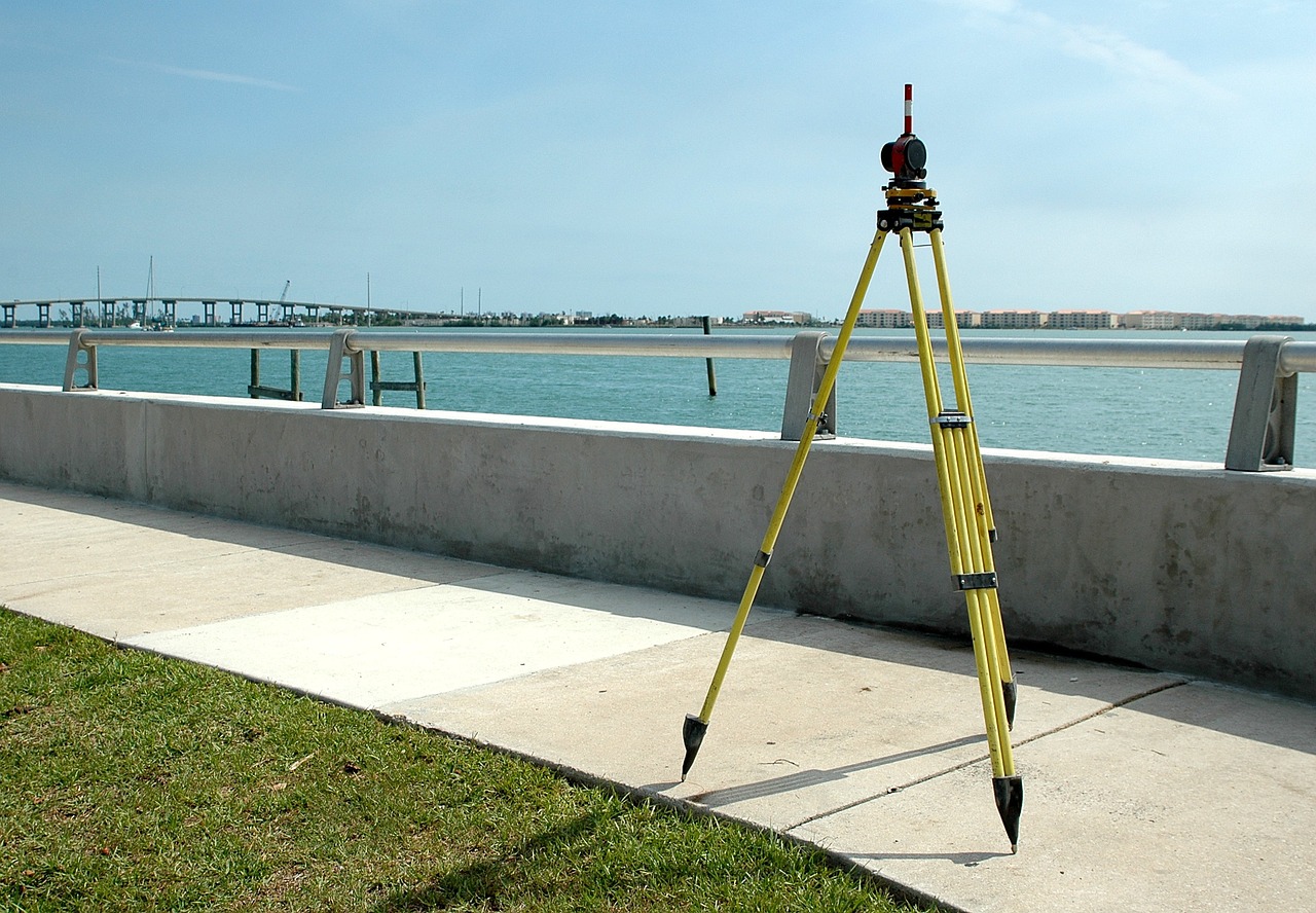
DGPS & GPS Survey
GPS Mapping
Our in-house team of expert surveyors are proficient in the provision of GPS Surveying. GPS surveying of this nature is used to map and identify the terrain features of land areas in great detail.
Establishment of Control Points
In construction, traversing is used to establish control around a job site to lay out the structures. A control point is a point on the ground or any permanent structure whose horizontal and vertical location/position is known.
Contour Through GPS
Contouring in surveying to determine of elevation of various points on the land and fixing these points of same horizontal positions in the contour map.
RTK Survey
Real-time kinematic (RTK) is a surveying technology to measure the relative positions using two Global Navigation Satellite System (GNSS) antennas in real-time with better accuracy. The errors found in GNSS results are determined and corrected using RTK technology.
Baseline Survey
Baseline survey is done to get a detailed assessment of the project area with regards to population, socio economic status and water &sanitation facilities within the project area.
Triangulation Survey
Triangulation surveying is the tracing and measurement of a series or network of triangles to determine distances and relative positions of points spread over an area.