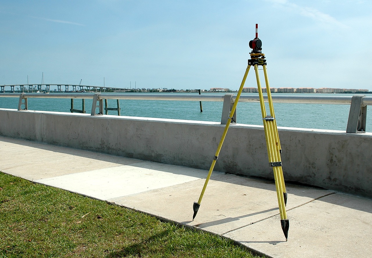
Drone Survey
Land Management and Development
Land management is the process of managing the use and development (in both urban and rural settings) of land resources. We use this process to controll the usage and improvement of land resources for urban and agricultural settings.
Stockpile Volumetric Measurements
Stockpile measurement is a technique used to determine the size, volume, or weight of a commodity stockpile. We provide that service also.
Forest Area Measurements
Many forest inventories are carried out using fixed-area sample plots located throughout the area of interest. These plots may be any shape—square, circular, triangular—but circular plots are most often used. We used drone survey to plot samples in forest measurements to determine fixed radius plot and variable radius plot.
Slope Monitoring
The main purpose of Slope monitoring is to locate the slide surface or sub-surfaces, and monitor the rate of movement. During an airborne drone survey we organize the ground, features, and structures are photographed numerous times from various angles, and each image is tagged with coordinates.
Urban Planning
Drones are being used to survey and map urban areas, providing detailed information about the terrain and infrastructure. Drones makes it possible to map enormous areas quickly and cheaply, making it a potential alternative to satellite images.